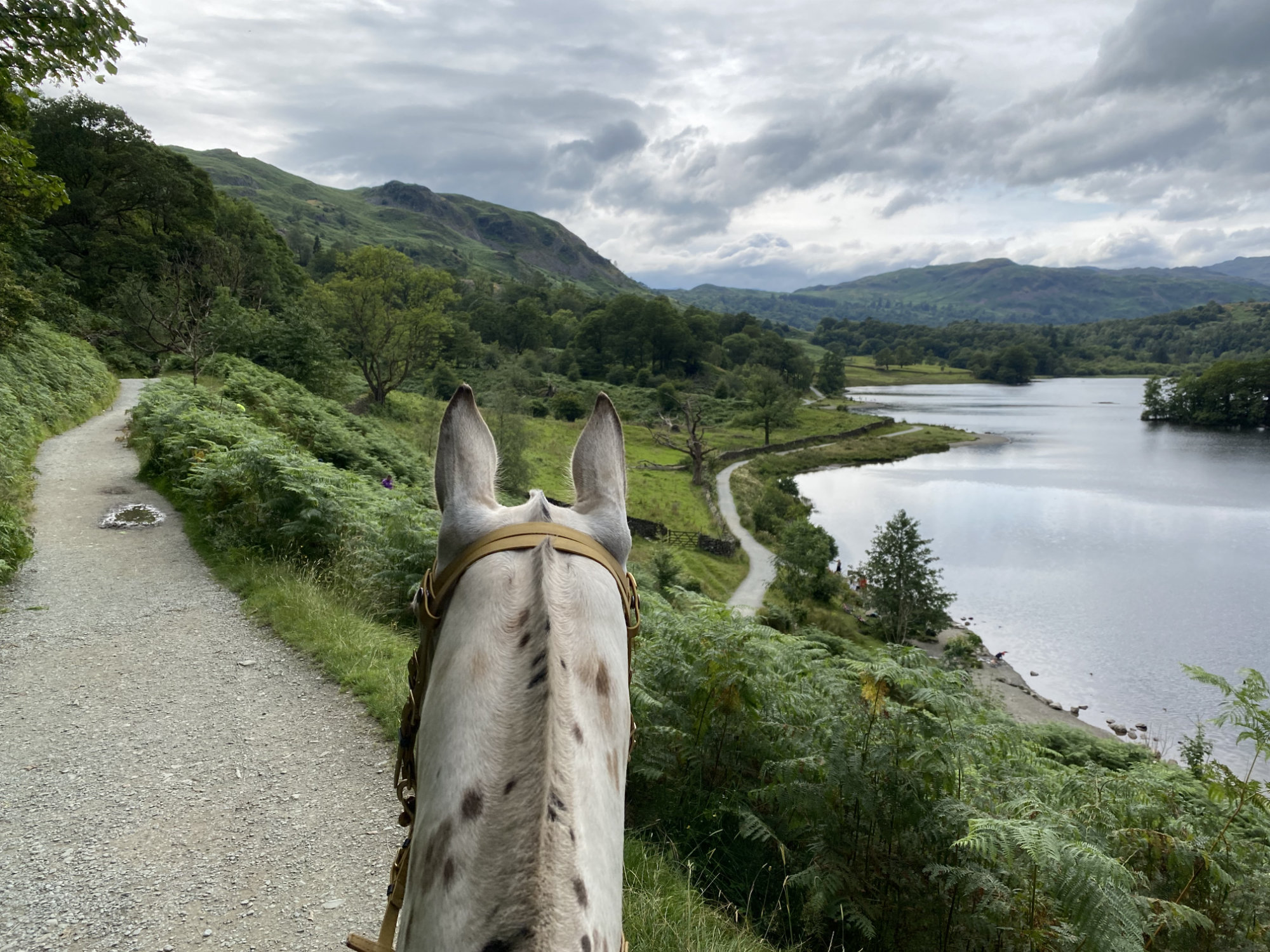
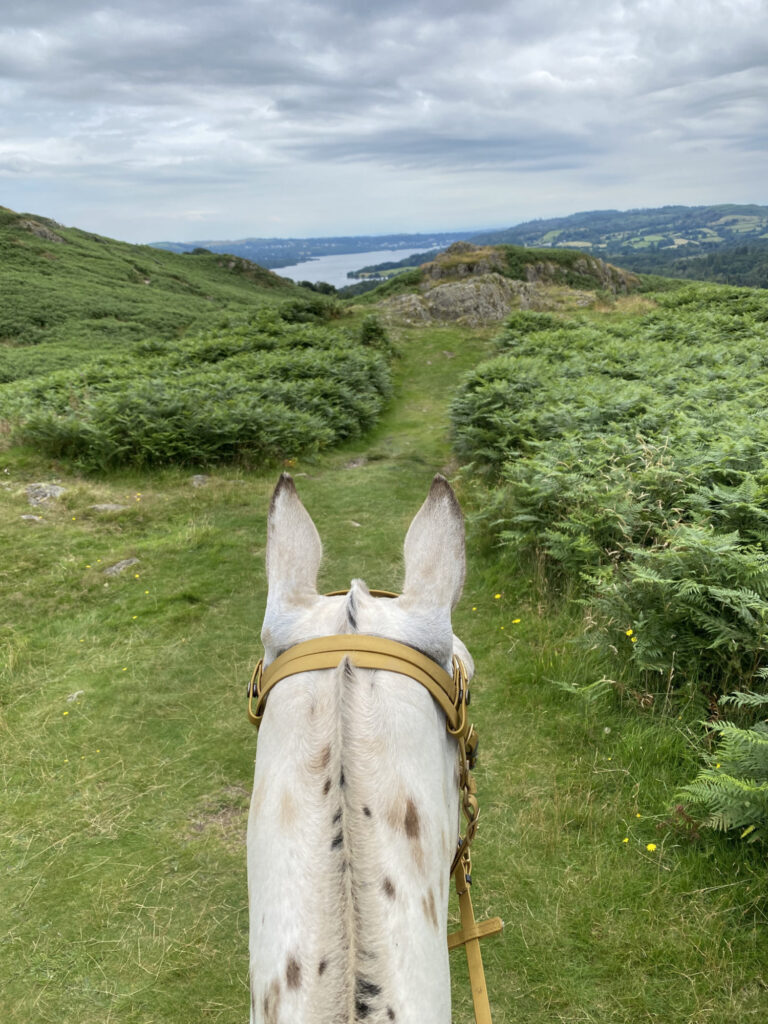
There is a reason why this between the ears image is on the homepage! Add this ride to your bucket list. It’s a must do ride if you’re in the area, and even if you’re not, make the trip because the views are truly remarkable. On a clear day you can see all the way to Windermere and beyond.
Route Description
1. Follow the minor road from Elterwater up to the YHA, over the common. Ride through the YHA and then at the road junction, turn right and head downhill. After a short stretch on the road, take the bridleway on the left signed for Loughrigg Tarn. This is a flat, wide path, the sort you could push your nan round in a wheelchair. Expect this section to be busy. Actually, expect the whole route to be busy! This isn’t a route for a nervous or novice horse that isn’t good with kids, dogs, bikes, crowds etc.
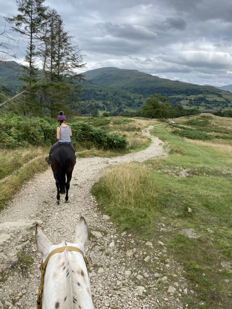
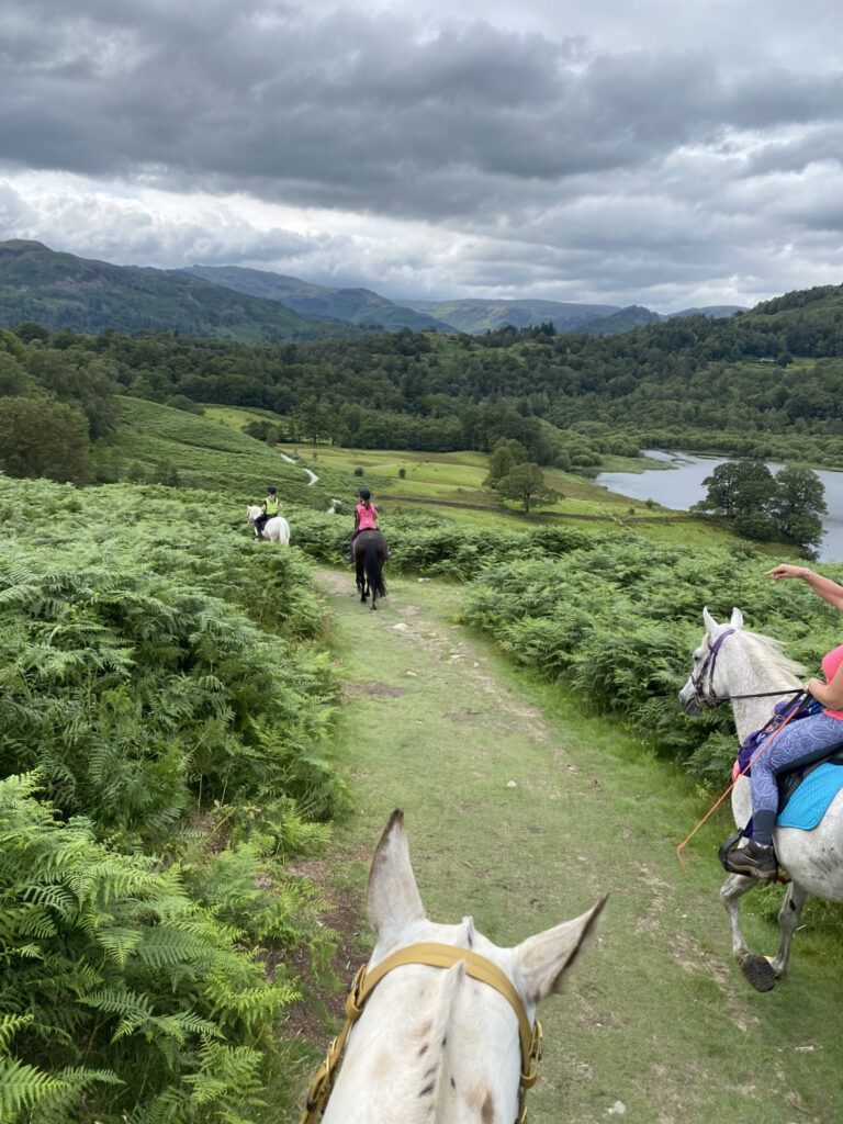
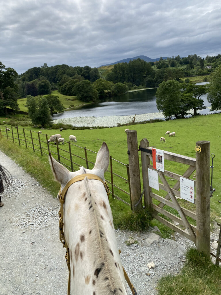
2. Follow the path as it covers round the left hand side of Loughrigg Tarn with fine views over towards the Langdales. Pass through a camping site and then a small hamlet of buildings. Be on high alert for a finger post marking the bridleway off to the left, through a wooden gate and down a stony track with brick walls to either side. Follow this path. It shortly meets a woods and then rises sharply up through the forest before skirting round the right hand side of the trees, between the tree line and a stone wall. There are horses in the field adjacent at this point. What a field to have! Keep following the obvious bridleway as it crosses over the fell. The track is a wide, stoney path the entire way with marvellous views to either side. The bridleway soon goes over the brow of the hill and starts to drop down into Ambleside. Follow the path until it meets several houses and becomes a steep, single track road.
3. At the T junction, turn left and follow the road north, past the pigs (!!) towards Pelter Bridge. The last field can often have cows in but they are no bother, presumably they’ve seen it all before! If you’re lucky, there will be an ice cream van parked up here!
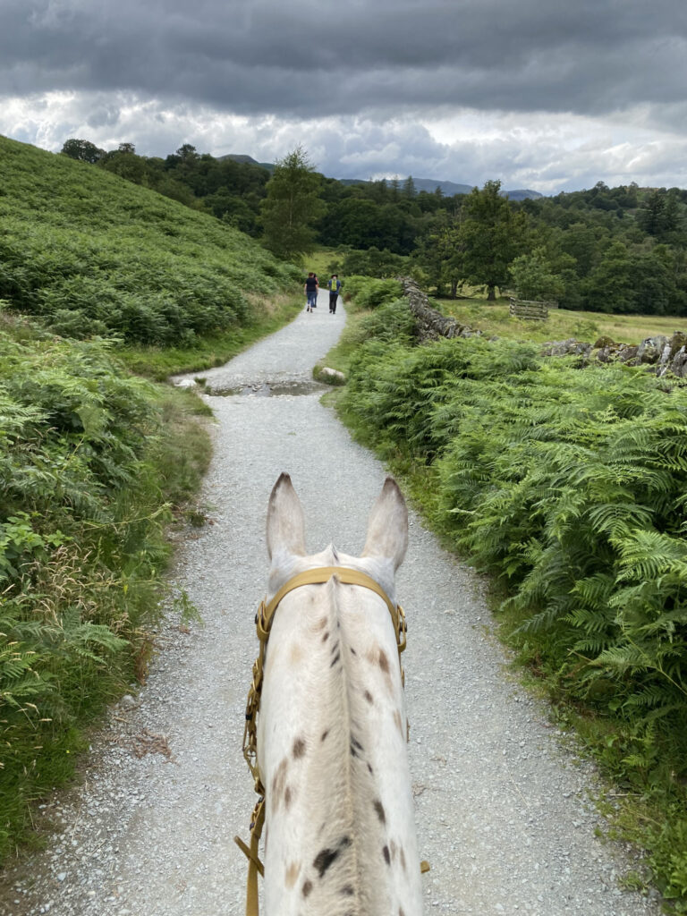
4. Just before the bridge, turn left and follow the road until it peters out into a stoney bridleway again. There are two options here, take the higher path to see the caves and get a view of Grasmere. The higher path is more rocky with some large boulders to clamber over so for the less adventurous, stick to the lower and flatter path. The paths rejoin between Rydal water and Grasmere. For the quickest way back, continue along Loughrigg Terrace, but for a dip in Grasmere, turn right here and head through the woods, fording the river and following the well marked bridleway running parallel to the river on the other side. Cross back over the river, this time using the bridleway bridge to reach Grasmere – perfect for a dip!
5. Follow the bridleway running around the shoreline of Grasmere until it ends abruptly at a minor road, turn left and head sharply uphll for one final push back to the YHA. Tack the right hand turn to the YHA and then retrace your steps back across Elterwater Common.
Parking
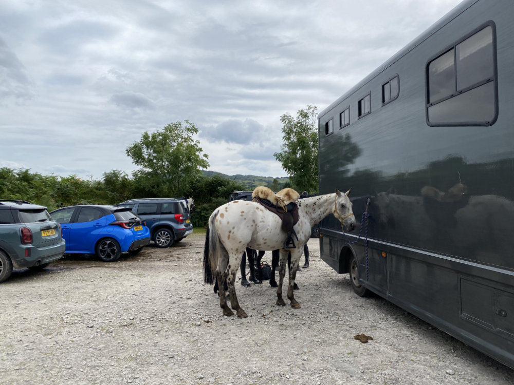
Parking in the Lake District is always a challenge. I recommend using one of the carparks / pull ins / laybys on Elterwater Common. The one we used was a paid carpark
Address: Elterwater Common, Cumbria LA33 9HP
Cost: Depends on which car park. The one pinned is £5 payable using your phone upto 24 hours after the parking.