Gates: Lots of gates on the first half, some broken or dropped that probably will require you to dismount and haul them open. No gates on the railway line section
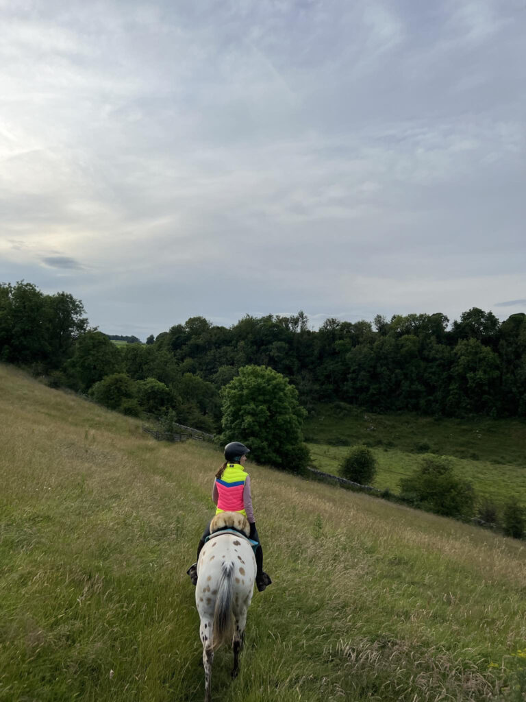
Terrain: Very steep and hilly to start with but passes through lots of grassy fields. Some stoney droves. The railway line to return on is smooth tarmac
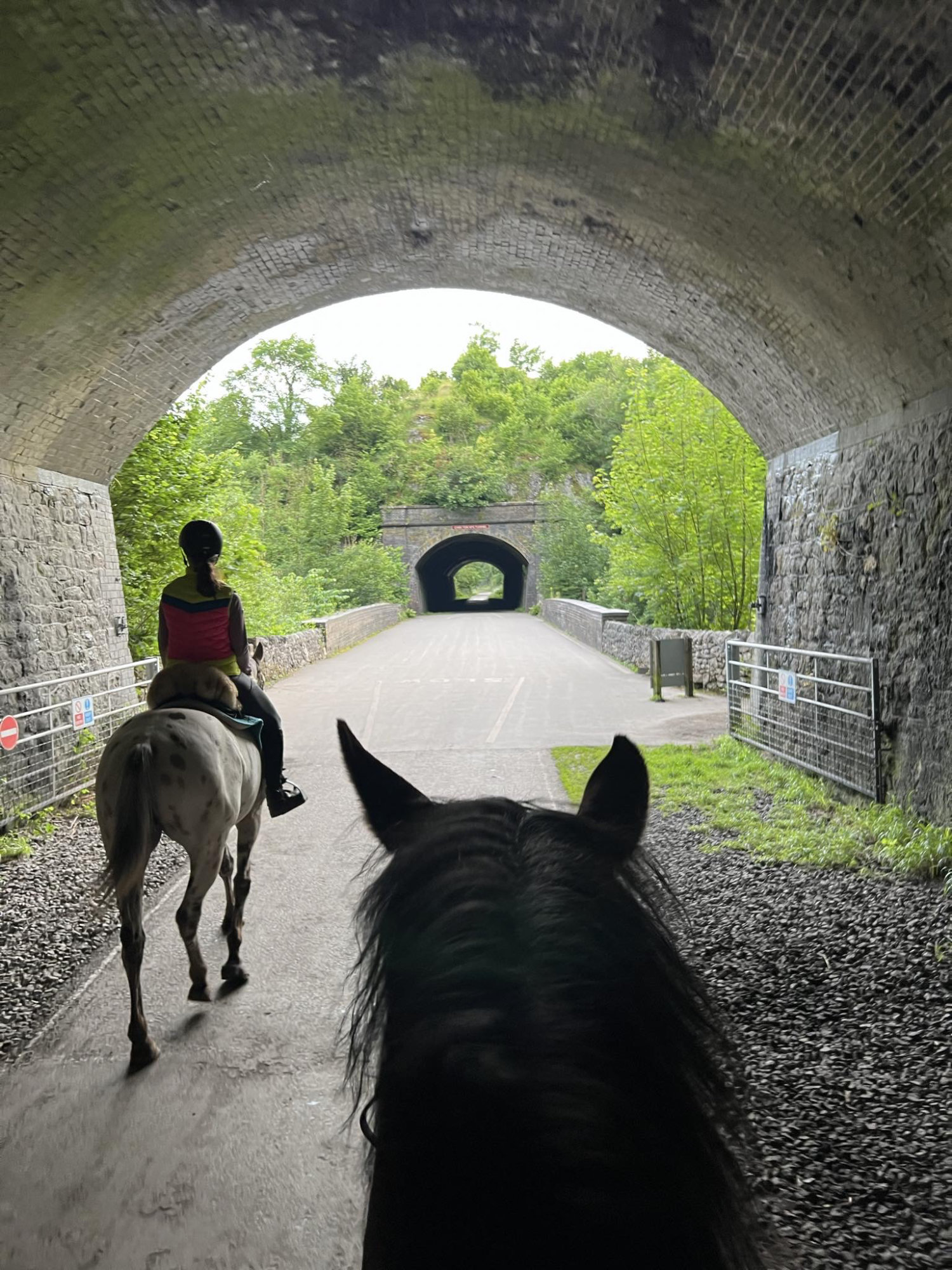
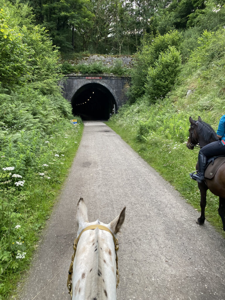
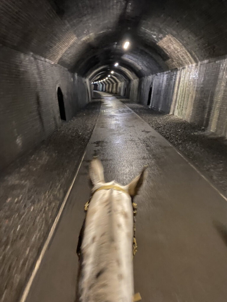
If you like an unusual adventure then this is the ride for you! A ride of two halves – the first half is steep and hilly passing through dales and lots and lots of cow farms. The second half is along the Monsal Trail, going through the disused railway line tunnels! More of a rider scare – most horses take to it just fine. All of the tunnels have lights inside although they’re not 100% waterproof so prepare to get dripped on!
Route Description
1. Follow the trail out of the car park. Although strictly a bridleway it does lead to several houses so be prepared for the odd car. The trail follows the meandering river as it criss crosses underneath the railway line bridges – totally serene. Spot a dipper if you can! The bridleway soon rises up to meet the start of the Monsal Trail (disused railway line). Follow this for a short while until you reach a sign for a cycle hire shop.
2. Head left here, dropping down off the railway line to a small hamlet with a row of cottages. Cross the river over the bridleway bridge and turn right before the cottages, passing under another railway line bridge. The track suddenly veers straight up! Make sure you keep left after the bridge and gate and zig zag your way sharply uphill to the top of the valley. The views (and wildflowers) are amazing on this section to be sure to take it in if you’re not too out of breath! Go through a gate and turn sharply right passing through a farm. The bridleway says it turns left before the buildings however the farmer is encouraging riders to use the driveway instead and why complain when it means less gates! Follow the driveway which becomes a road for quite some while as it drops steadily down hill and then rises up again.
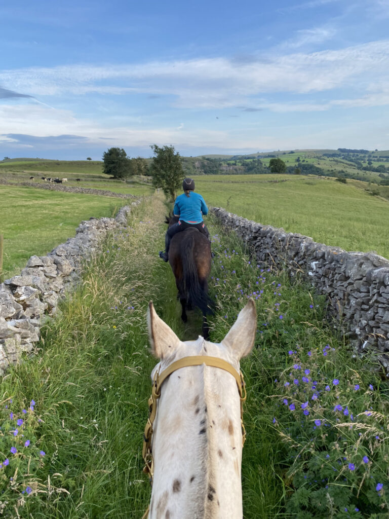
3. There will be a couple of buildings on your right as the road starts to climb uphill. Just past these buildings will be a bridleway sign on the right heading into cattle fields. Take this path and enjoy some beautiful canters if you’re lucky. The bridleway heads in a straight line, passing through several fields before popping out on a farm track. Caution, the farmer uses these tracks to move his pedigree Montbeliarde dairy cows twice a day, a breed of cow known for their dairy production not their haste and so meaning long hold ups if you go through at the wrong time! Ride through the farm, until you reach a road junction. Turn right onto the road and then immediately left onto another bridleway. This is part of the Pennine Bridleway and is usually well signed with finger posts. This next section follows a traditional stone wall lined drove which continues straight and then slowly weaves its way downhill and left into another dale.This part can be stoney and slippy for shod horses.
4. Pass through a wildflower meadow and through a gate onto a narrow country lane. Turn right and head steeply downhill into the bottom of the dale before rising sharply back out the other side. Continue along this road to the top of the hill at which point there will be well defined bridleway on your right, marked with stone walls either side. This is the Limestone Way. Follow this bridleway back down into Millers Dale.
5. Once in Millers Dale, turn right and ride a short section along the main road. This road has a 40mph speed limit but can still have a fair amount of traffic. After 100 metres, turn right and follow the signs for Millers Dale car park. This is the perfect place to stop for some refreshments mid-ride! Continue through the car park and turn right onto the Monsal Trail railway line. The hard part is done now because you’ll stay on this one trail until you’re back at the car park now. Follow the trail, through the tunnels until you arrive back at the cycle hire shop and then retrace your steps to return to your starting point.
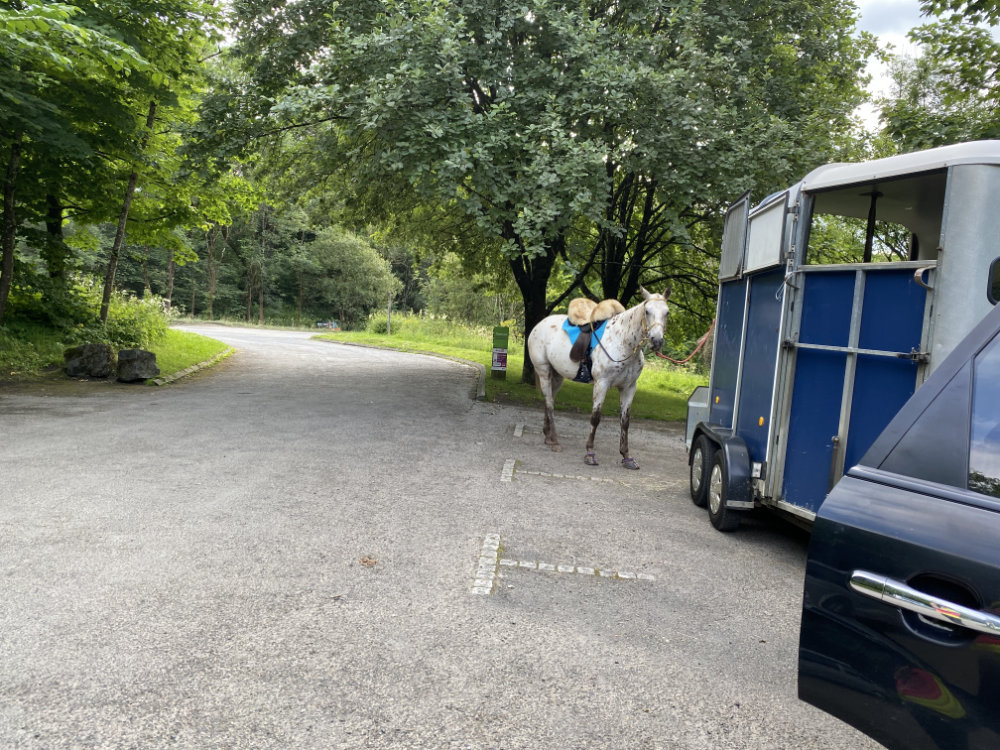
Parking
There is parking at the Wyedale Car Park which is good for a quiet evening and offers proximity to Buxton straight off the A6 along with a lovely bridleway to the start of the loop however it is small and tight to turn around in and wouldn’t be suitable for a busy weekend. For weekends, I would suggest using the Millers Dale Car Park (shown as P on the map) and an alternative starting point for the route.
Address: Wyedale Car Park / Millers Dale Car Park
Cost: Both of these car parks are Peak District National Park with charges. The Wyedale car park is free after 6pm