Links & Resources
A collection of online resources to help you with your horsey adventures
60 Route Maps of Shropshire
A fantastic online resource covering 60 routes in Shropshire, with parking places, interactive maps and headcam video photo of the ride.
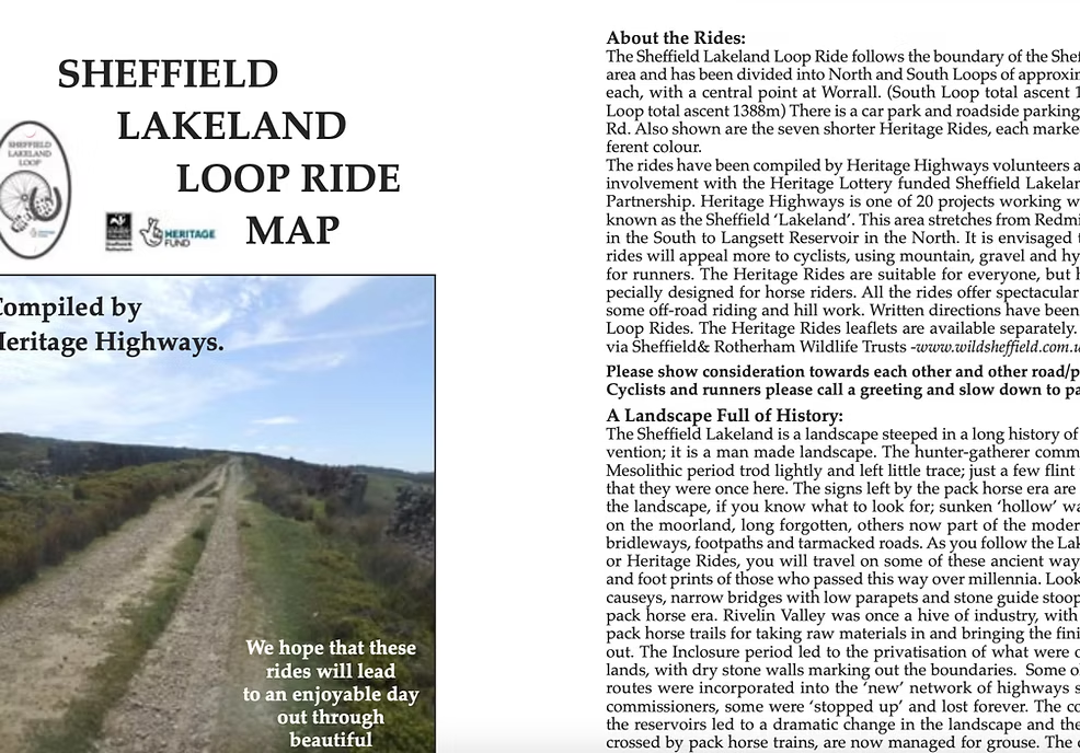
West Sheffield / Peak District
A website dedicated to the old Pack Horse Trails to the West of Sheffield covering the Langdale, Ladybower, Rivelin area. They have conducted extensive research into the history of the trails and produced two books and six (free) bridleway route leaflets, available to download from their website.
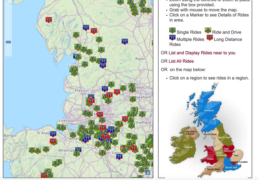
Nationwide Interactive Route Map
The BHS RideMaps site is an interactive map of horse friendly routes that have been uploaded by users. Each pin is colour coded depending on the length of the route and each route has a downloadable GPX file.
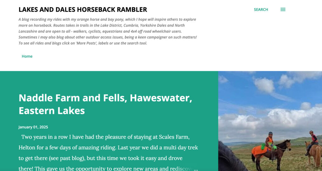
Lakes and Dales Horseback Rambler Blog
Route Maps for Cumbria
Hannah blogs about her horseback explorations in the Lake District, sharing maps, route descriptions, photos and handy hints on how suitable the tracks are. The Lakes are notorious for having steep, rocky bridleways that are more of a rock climb than a gentle hack and it’s hard to know which routes are safe and which are simply not suitable. Hannah’s website is an excellent source of info for the local area.