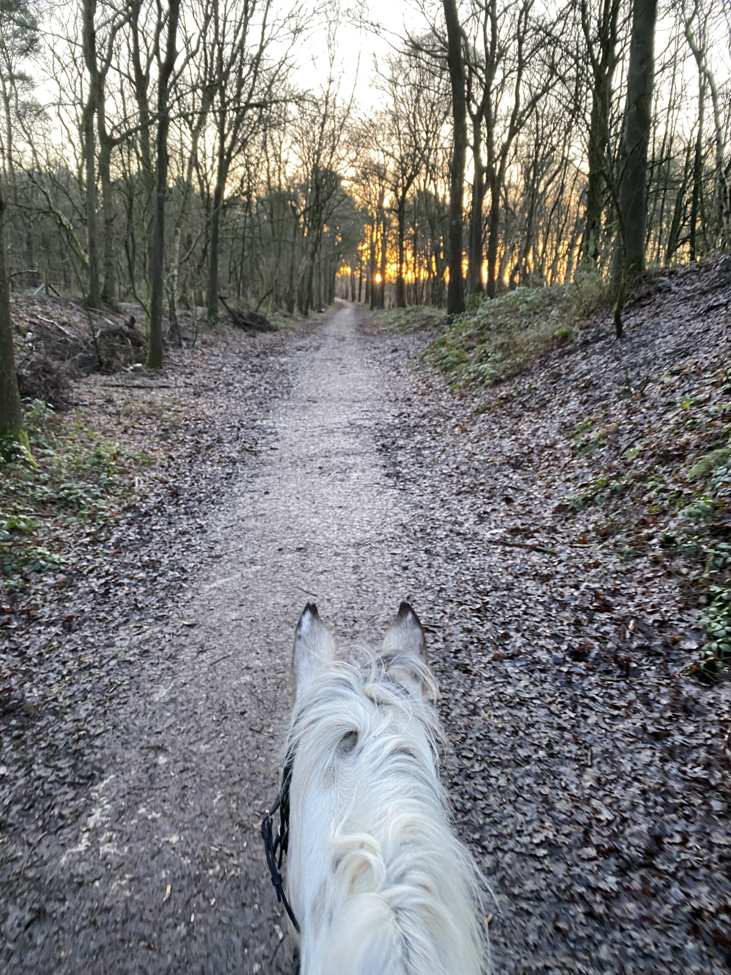
Terrain: Surfaced disused railway line track – as flat as a pancake! The western loop has dirt tracks which are either muddy or canterable depending on the time of year.
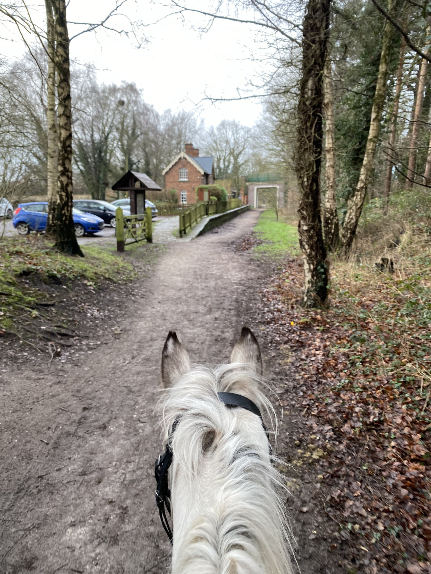
The Whitegate Way is a flat, straight disused railway line that allows you to park up and have a fully off road, gate free hacking experience! This trail is narrower than Delamere and so be careful of passing bikes if your horse isn’t used to them – there isn’t much room to get out of the way. The Whitegate Station car park is in the centre of the trail allowing you to go in either direction – or to do two butterfly loops.
Route Description
1. Turn left out of the car park, under the bridge and along the trail. At the wooden gate with horse style and bollards, turn right and back onto yourself onto the bridleway, passing behind several large houses and gardens. When you reach a back road, turn left and ride down this unsurface road past several farms and several fishing ponds. This road is rarely busy so expect to have it to yourself except for a dog walker of too. Continue on as the road turns into a muddy bridleway with grass centre, past several horse fields on the right and a forest activity centre on your left.
2. At the cross roads, turn left, passing through the gap to the left of the gate and keeping the forest acitivity centre on your left. Ride up the hill, over the bridge and straight on. Weave through the trees until the trail widens. This is a great place for a canter! The track ends at a wide concrete access road, turn left and follow this access road heading to the plant nursery. Just before the big gates, turn left and follow the gravel path back towards the railway line.You will then need to turn left and follow it running parallel to the railway line before there is a gate (permanently open / on the floor) and a way up onto the railway line. From here, turn right and ride back to the cafe. Ride through the cafe, past the car park and continue out the other side, over a bridge across the road and past several horse fields to the left. Watch out for the grooms poo picking the fields with a massive poo hoover!
3. The railway line becomes broken here and drops down to a road on the left. Ride round the concrete barriers, across the road and back up the other side. At the next cross roads, turn right off the trail onto a grass centred dirt road. Follow this round to the right, through some trees, past a house and back onto the tarmac road you just crossed. Turn right here and ride down the road, past a playing fields on your left. Turn left, past the concrete barriers and back onto the railway line.
NOTE, the next section passes a disued golf course to the left (after the black sheep field with pirate flag) This is commonly used by local horse riders and is an amazing grassy uphill gallop, Skirt off the track onto the disused golf course and then pop back on at the top. This diversion hasn’t been plotted on the GPX because it’s local knowledge rather than an official right of way. Numbered G for golf (or gallop)
Parking
Park at the Station Cafe in the middle of the Whitegate Way. You can go either way from here – on do two butterfly loops! There is a signed horsebox parking area here. Please note the closing times on the entrance barrier because they do lock the car park at night.
Address: Station House Cafe, Clay Lane, Whitegate Winsford CW7 2QE